
Quantum chemistry software calculates molecular structures, electronic properties, chemical reactions and the behaviour of atoms and materials.
Read more
Quantum chemistry software calculates molecular structures, electronic properties, chemical reactions and the behaviour of atoms and materials.
Read more
A common misconception is that bibliography tools are really only useful for academics. However, this type of software is a type of reference manager offering the ability to collect large amounts of metadata.
Read more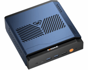
I test Lemonade Server on the BOSGAME VTA-439 under Linux, comparing CPU, ROCm, Vulkan and XDNA 2 NPU performance for local AI.
Read more
LlamaStash manages local language models with a terminal interface, model discovery, hardware-aware launching and OpenAI-compatible APIs.
Read more
Discover free and open source tools for scientific workflows, computational job management, simulation automation and research computing.
Read more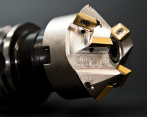
pcb2gcode converts Gerber files into CNC milling and drilling G-code, with isolation routing, autolevelling and flexible machining controls.
Read more
Look after your eyes with this free and open source software.
Read more
Drizzle is an adaptive GNOME weather app using Open-Meteo, with dynamic colours, location search and a layout suited to small screens.
Read more
FabexCNC is a Blender extension for creating CNC toolpaths with 2D and 3D milling strategies, simulation and many post-processors.
Read more
Molecular dynamics and simulation tools model atomic interactions, molecular behaviour and material properties for scientific research.
Read more
hyprsunset adjusts colour temperature and gamma in Hyprland, with scheduled profiles, manual controls and automatic profile switching.
Read more
wluma automatically adjusts brightness using ambient light and screen content on Wayland, learning preferences with multi-monitor support.
Read more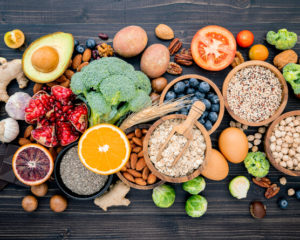
To provide an insight into the quality of software that is available, we have compiled a list of 15 high quality food and drink software.
Read more
A Genome browser provides a graphical interface for users to browse, search, retrieve and analyze genomic sequence and annotation data.
Read more
Taline is an eye-care application with configurable break reminders, countdowns, notifications and support for the 20-20-20 rule.
Read more
Explore free and open source chemical engineering software for Linux, including thermodynamics, chemical kinetics and process simulation.
Read more
The Global Positioning System (GPS) is a satellite-based navigation satellite system consisting of a network of satellites.
Read more
Blink is a configurable break reminder with multiple timers, desktop notifications, optional sounds, commands and input activity tracking.
Read more
Gosling.js builds interactive genomic visualisations from declarative specifications, with scalable tracks and linked exploration views.
Read more
D-GENIES compares large genome assemblies with interactive dot plots, revealing sequence rearrangements, inversions and repeated regions.
Read more