
OpenCPN is a chartplotter and navigation tool. It’s designed to be used at the helm station of your boat while underway.
Chart a course and track your position right from your laptop.
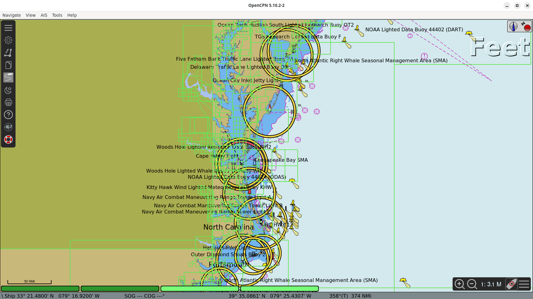
This cross-platform ship-borne GUI navigation application is made up by a core program, a large set of plugins and freely available charts. The application is configurable with user icon. The software runs under Linux, Raspberry Pi, Android, macOS, and Windows.
This is free and open source software.
Key Features
- GPS/GPSD Position Input and Display.
- BSB Raster Chart display.
- S57 Vector ENC and CM93 chart display.
- AIS Input Decoding and Display.
- Waypoint Autopilot Navigation.
Plugin support includes weather, tactical, annotations and tidal data. Pilot charts can be downloaded from the project website. Other useful add-ons may be found inside the “Download” link at at the same site.
Website: opencpn.org
Support:
Developer: The OpenCPN Authors
License: GNU General Public License v2.0
OpenCPN is written in C and C++. Learn C with our recommended free books and free tutorials. Learn C++ with our recommended free books and free tutorials.
Related Software
| GPS Tools | |
|---|---|
| MOBAC | Create offline atlases for GPS handhelds and cell phone applications |
| GPXSee | GPS log file viewer and analyzer |
| Traccar | GPS Tracking Platform |
| gpsd | GPS service daemon |
| Viking | GPS data editor, analyzer and viewer |
| GPSBabel | GPS file conversion plus transfer to/from GPS units |
| GpsPrune | View, edit, and convert coordinate data from GPS systems |
| ZombieTrackerGPS | Fitness and GPS track manager designed for KDE |
| QMapShack | GPS mapping (GeoTiff and vector) and GPSr management |
| Navit | Car navigation system with routing engine |
| GPS Correlate | Correlates digital images with GPS data filling EXIF fields |
| Open Cache Manager | Easy to use program for managing your geocaches |
| Satellite | Displays GNSS information obtained from NMEA sources |
| OpenCPN | Ship-borne GUI navigation |
| Geotagging | Photography geotagging tool |
| FoxtrotGPS | GPS/GIS application designed for small screens |
| AAT Activity Tracker | Tracking sportive activities, with an emphasis on cycling |
Read our verdict in the software roundup.
 Explore our comprehensive directory of recommended free and open source software. Our carefully curated collection spans every major software category. Explore our comprehensive directory of recommended free and open source software. Our carefully curated collection spans every major software category.This directory is part of our ongoing series of informative articles for Linux enthusiasts. It features hundreds of detailed reviews, along with open source alternatives to proprietary solutions from major corporations such as Google, Microsoft, Apple, Adobe, IBM, Cisco, Oracle, and Autodesk. You’ll also find interesting projects to try, hardware coverage, free programming books and tutorials, and much more. Discovered a useful open source Linux program that we haven’t covered yet? Let us know by completing this form. |