
Navit is an open source car navigation system with routing engine.
Its modular design is capable of using vector maps of various formats for routing and rendering of the displayed map. It’s even possible to use multiple maps at a time.
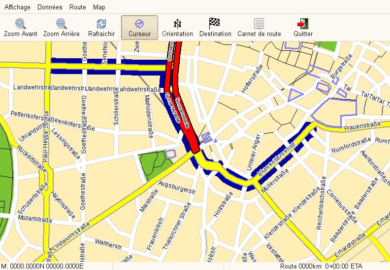
The GTK+ or SDL user interfaces are designed to work well with touch screen displays. Points of Interest of various formats are displayed on the map.
The current vehicle position is either read from gpsd or directly from NMEA GPS sensors.
The routing engine not only calculates an optimal route to your destination, but also generates directions and even speaks to you using speech-dispatcher.
Key Features
- Can read the vehicle’s current position:
- directly from a file.
- from gpsd (local or remote).
- from upd server (friends tracking).
- Calculates an optimal route to a destination using a Dijkstra algorithm. The routing starts at the destination by assigning a value to each point directly connected to destination point. The value represents the estimated time needed to pass this distance.
- Generates directions.
- Speaks to you using espeak.
- Supports the following map formats:
- OpenStreetMaps – display, routing, although street name search isn’t complete.
- Australian OSM extract.
- European maps – Grosser Reiseplaner and compliant maps.
- Garmin maps – display, routing, search is under development.
- US/Tiger maps.
- Other maps.
- Speaks over 70 languages – Afrikaans, Arabic, Asturian, Basque, Brazilian Portuguese, Bulgarian, Catalan, Chinese (Hong Kong), Chinese (Simplified), Croatian, Czech, Danish, Dutch, English (Australia/), English (United Kingdom), Esperanto, Estonian, Faroese, Finnish, French, Galician, German, Greek, Hebrew, Hungarian, Indonesian, Italian, Japanese, Javanese, Lithuanian, Low German, Macedonian, Norwegian Bokmal, Norwegian Nynorsk, Polish, Portuguese, Romanian, Russian, Serbian, Slovak, Slovenian, Spanish, Swedish, Telugu, Thai, Turkish, Ukrainian, Urdu, and Vietnamese.
Website: www.navit-project.org
Support: Wiki, GitHub
Developer: Charles Curley, jandegr, jkoan, Johan Fitié, Joseph Herlant, lains, Marc Capdeville, Michael Dankov, mvglasow, naggety, Patrick Höhn, Pierre Grandin, Robert Pohlink, Sebastian Leske, Stefan Wildemann, Timo, trldp, youte62
License: GNU General Public License v2.0
Navit is written in C. Learn C with our recommended free books and free tutorials.
Related Software
| GPS Tools | |
|---|---|
| MOBAC | Create offline atlases for GPS handhelds and cell phone applications |
| GPXSee | GPS log file viewer and analyzer |
| Traccar | GPS Tracking Platform |
| gpsd | GPS service daemon |
| Viking | GPS data editor, analyzer and viewer |
| GPSBabel | GPS file conversion plus transfer to/from GPS units |
| GpsPrune | View, edit, and convert coordinate data from GPS systems |
| ZombieTrackerGPS | Fitness and GPS track manager designed for KDE |
| QMapShack | GPS mapping (GeoTiff and vector) and GPSr management |
| Navit | Car navigation system with routing engine |
| GPS Correlate | Correlates digital images with GPS data filling EXIF fields |
| Open Cache Manager | Easy to use program for managing your geocaches |
| Satellite | Displays GNSS information obtained from NMEA sources |
| OpenCPN | Ship-borne GUI navigation |
| Geotagging | Photography geotagging tool |
| FoxtrotGPS | GPS/GIS application designed for small screens |
| AAT Activity Tracker | Tracking sportive activities, with an emphasis on cycling |
Read our verdict in the software roundup.
 Explore our comprehensive directory of recommended free and open source software. Our carefully curated collection spans every major software category. Explore our comprehensive directory of recommended free and open source software. Our carefully curated collection spans every major software category.This directory is part of our ongoing series of informative articles for Linux enthusiasts. It features hundreds of detailed reviews, along with open source alternatives to proprietary solutions from major corporations such as Google, Microsoft, Apple, Adobe, IBM, Cisco, Oracle, and Autodesk. You’ll also find interesting projects to try, hardware coverage, free programming books and tutorials, and much more. Discovered a useful open source Linux program that we haven’t covered yet? Let us know by completing this form. |
Please read our Comment Policy before commenting.