The Global Positioning System (GPS) is a satellite-based navigation satellite system consisting of a network of satellites.
Read more
The Global Positioning System (GPS) is a satellite-based navigation satellite system consisting of a network of satellites.
Read more
This article picks the finest photo geotagging tools. All of the software featured are free and open source goodness.
Read more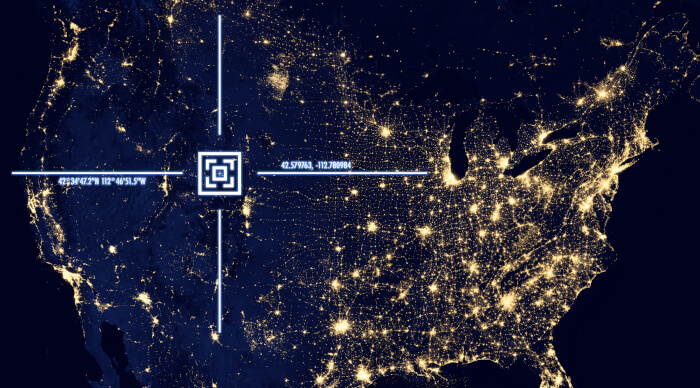
AAT is a GPS-tracking application for tracking sportive activities, with an emphasis on cycling.
Read more
MyTourbook lets you visualize and analyze tours which are recorded by a GPS device, bike- or exercise computer and ergometer.
Read more
Geotagging is a simple tool for manipulating with geographical information stored in JPEG images (in EXIF section).
Read more
Satellite is an adaptive GTK3 / libhandy application which displays global navigation satellite system (GNSS: GPS et al.) data.
Read more
ZombieTrackerGPS (ZTGPS) can manage collections of GPS tracks from biking, hiking, rafting, light aircraft, and many other activities.
Read more
Open Cache Manager is an easy to use program for managing your geocaches, with the goal of being the Linux equivalent to GSAK.
Read more
Navit is an open source car navigation system with routing engine. Its modular design is capable of using vector maps of various formats.
Read more
QMapShack provides a versatile open source tool for GPS maps in GeoTiff format as well as Garmin’s img vector map format.
Read more
GPSBabel is software for GPS file conversion and transfer to/from GPS units. It has a command-line interface and a graphical interface.
Read more
Traccar is an open source modern GPS tracking system for various GPS tracking devices. The project is written in Java.
Read more
FoxtrotGPS is a GTK+ based mapping and GPS application. It’s typically used to show a moving map showing your position in real time.
Read more
gpsd is a service daemon that monitors one or more GPSes or AIS receivers attached to a host computer through serial or USB ports.
Read more
GPXSee is a Qt-based GPS log file viewer and analyzer that supports all common GPS log file formats.
Read more
Mobile Atlas Creator (MOBAC) is software that creates offline atlases of raster maps for cellphones and GPS devices. Free and open source.
Read more
Viking aims to be an easy to use, yet powerful in accomplishing, a wide variety of GPS related tasks. It uses a hierarchical layering system.
Read more
GpsPrune is a map-based application for viewing, editing and converting coordinate data from GPS systems.
Read more