
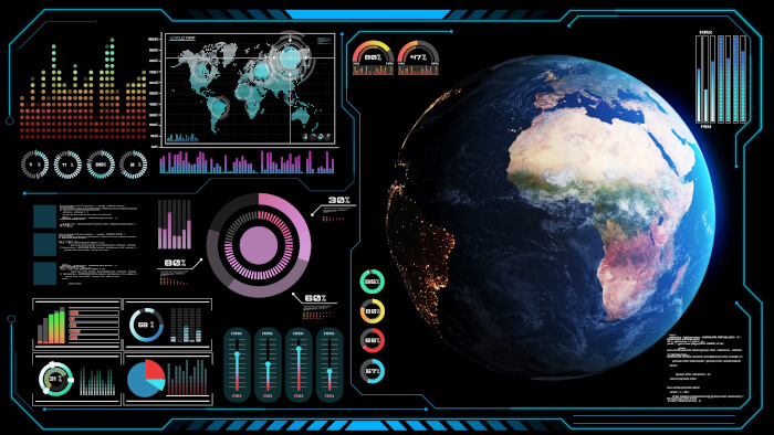
Cartopy is a library for producing maps and geographic visualizations. It provides tools for working with geographic coordinate systems, transforming spatial data, and presenting scientific information on maps.
The library is particularly valuable for meteorology, climatology, oceanography, and other disciplines that work with geographically referenced data. Researchers can combine observations, model output, and geographic information to create maps that communicate spatial patterns and relationships.
Cartopy integrates closely with Matplotlib, extending its plotting capabilities with geographic projections and mapping facilities. It can be used for everything from simple maps showing coastlines and borders to more complex visualizations of environmental and scientific datasets.
This is free and open source software.
Key Features
- Object-oriented definitions for numerous geographic projections and coordinate reference systems.
- Transforms geographic points, lines, polygons, and images between coordinate systems.
- GeoAxes integration extends Matplotlib with geographic plotting capabilities.
- Supports common projections including Plate Carrée, Mercator, Lambert Conformal, Robinson, and Orthographic.
- Draws geographic features such as coastlines, country borders, rivers, and lakes.
- Accesses Natural Earth geographic datasets for creating maps at different scales.
- Shapefile reading provides access to custom vector geographic datasets.
- Shapely integration supports the handling and transformation of geographic geometries.
- Plots geographically referenced points, contours, filled contours, vector fields, and raster data.
- Customizable gridlines and longitude/latitude labels improve map readability.
- Supports transformations of raster images into different map projections.
- Map image tiles and web mapping service integration provide additional geographic backgrounds.
- Control map extent to display particular regions or global views.
- Overlay multiple geographic and scientific datasets within the same map.
- Use Matplotlib styling, legends, colour scales, and other presentation options to customize output.
Website: github.com/SciTools/cartopy
Support:
Developer: SciTools / Cartopy contributors
License: BSD 3-Clause ‘New’ or ‘Revised’ License
Cartopy is written in Python. Learn Python with our recommended free books and free tutorials.
Related Software
| Python Visualization Packages | |
|---|---|
| matplotlib | Python 2D plotting library which produces publication quality figures |
| Diagrams | Draw the cloud system architecture in Python code |
| Bokeh | Elegant, concise construction of versatile graphics |
| Dash | Python framework for building analytical web applications |
| seaborn | Python visualization library based on matplotlib |
| Plotly | Interactive, browser-based graphing library for Python |
| VisPy | Visualize massive datasets in real time |
| Vega-Altair | Declarative Visualization in Python |
| plotnine | Grammar of graphics for Python |
| PyQtGraph | Python graphics and GUI library built on PyQt4 / PySide and numpy |
| bqplot | Interactive Plotting Framework for the Jupyter Notebook |
| Vaex | Fast visualization of big data |
| PyVista | 3D plotting and mesh analysis |
| folium | Visualize data in a Leaflet map |
| HoloViews | Make Data Analysis and Visualization Seamless |
| Datashader | Generates aggregate arrays and representations of them as images |
| yt | Multi-code Toolkit for Analyzing and Visualizing Volumetric Data |
| Glumpy | Intuitive interface between NumPy and modern OpenGL |
| GeoViews | Explore and visualize geographical, meteorological, and oceanographic datasets |
| Pygal | Dynamic SVG charting library |
| Glue | Multi-dimensional linked-data exploration |
Read our verdict in the software roundup.
 LinuxLinks helps you discover the best free and open source software for Linux. Explore our extensive collection of recommended applications, including alternatives to popular proprietary software. We also publish software reviews, Linux tutorials, hardware reviews, free programming books and articles covering the wider open source community. Browse our Linux resources to discover more. Know a useful free and open source Linux application we haven't covered? Suggest a program for inclusion. Has your software been featured on LinuxLinks? Display one of our Featured on LinuxLinks badges on your website or GitHub README. |
Please read our Comment Policy before commenting.