
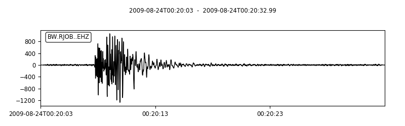
ObsPy is a comprehensive Python framework designed for processing, analyzing, and visualizing seismological data. It provides a unified toolkit for working with seismic waveforms, enabling researchers, scientists, and engineers to handle data from seismological observatories and data centers efficiently.
The library includes support for numerous seismic data formats, tools for accessing remote data services, and a wide range of signal processing routines. Its integration with the scientific Python ecosystem makes it well-suited for building reproducible workflows and rapid application development in geophysics and earthquake research.
This is free and open source software.
Key Features
- Extensive Python framework for processing and analysing seismological time series data.
- Supports reading and writing a wide range of common seismic data formats.
- Provides clients for accessing remote data centres and web services.
- Includes signal processing routines for filtering, transforming, and manipulating waveform data.
- Enables rapid development of scientific applications within the Python ecosystem.
- Offers integration with scientific libraries for visualisation and numerical analysis.
Website: github.com/obspy/obspy
Support:
Developer: ObsPy Development Team
License: GNU Lesser General Public License v3.0
ObsPy is written in Python. Learn Python with our recommended free books and free tutorials.
Related Software
| Earth Science Software | |
|---|---|
| GRASS | Geographic Resources Analysis Support System |
| Quantum GIS | User friendly Geographic Information System |
| Survex | Cave surveying and mapping software |
| GPlates | Interactive visualization of plate-tectonics |
| GMT | Collection of tools that allow users to manipulate data sets |
| Therion | Cave surveying - 2D and 3D drawing software |
| GeoServer | Server written in Java that allows users to share and edit geospatial data |
| OpenJUMP | Geographic Information System written in Java |
| uDig | Spatial data viewer/editor |
| GrADS | Grid Analysis and Display System for earth science data |
| SAGA | System for Automated Geoscientific Analyses |
| gvSIG Desktop | Powerful, user-friendly Geographic Information System |
| PostGIS | Database extender for PostgreSQL object-relational database |
| WhiteboxTools | Advanced geospatial data analysis platform |
| ncview | Visual browser for NetCDF format files |
| MapServer | System for developing web-based GIS applications |
| OpenSees | Open System for Earthquake Engineering Simulation |
| Grock | Displays a geological map of the UK |
Read our verdict in the software roundup.
 Explore our comprehensive directory of recommended free and open source software. Our carefully curated collection spans every major software category. Explore our comprehensive directory of recommended free and open source software. Our carefully curated collection spans every major software category.This directory is part of our ongoing series of informative articles for Linux enthusiasts. It features hundreds of detailed reviews, along with open source alternatives to proprietary solutions from major corporations such as Google, Microsoft, Apple, Adobe, IBM, Cisco, Oracle, and Autodesk. You’ll also find interesting projects to try, hardware coverage, free programming books and tutorials, and much more. Discovered a useful open source Linux program that we haven’t covered yet? Let us know by completing this form. |