
Therion is a tool for cave surveying. This application archive survey data on computer in a form as close to the original notes and sketches as possible and retrieve them in a flexible and efficient way. This tool also draws up-to-date plan or elevation maps.
Drawings are done over scans and can be distorted to fit the centreline data. Output is in single sheet or atlas style PDF or SVG files. All data is stored in text files and a map editor (xtherion) is provided to aid in the creation of the files.
Therion can also produce realistic 3D models, generated from walls and passage-heights. Output formats supported are Survex .3d files, VRML, DXF, SVG, shapefiles, and the native .loc and older .thm (therion model). Therion is compatible with Survex, and centreline data can be stored in Survex or Therion form. Centreline data and sketches can be imported from PocketTopo.
TeX and metapost are used to generate the images. libtk-img is needed to use scans in formats other than GIF and PNM (such as PNG and JPEG).
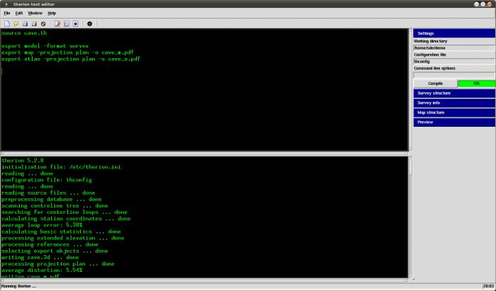
Therion is a command-line application. It processes input files, which include 2D maps—in text format, and creates files with 2D maps or 3D model as the output.
Key Features
- Structure of map drawings is fully independent on survey data – draw partial maps as you are exploring and surveying the cave.
- Complete maps with all the detail. No additional ink stroke is needed.
- Maps are dynamic, always up-to-date – i.e. they are automatically re-drawn after loop closure, blunder fix, scale or symbol set change.
- Split the cave into layers and selectively display them.
- Generate an interactive atlas.
- Define multiple independent “views” of map structure suitable for different purposes.
- 3D models are created using 2D maps.
- Support for LRUD dimensions.
- Export formats for maps: pdf, svg, xhtml, survex, dxf, esri53, and kml (Google Earth).
- Export formats for 3D models: loch, .plt (Compass), .3d (Survex), dxf, esri, vrml, 3dmf, and kml.
- Import formats: .3d (Survex), .plt (Compass), .xyz (general), PocketTopo Therion.
- Internationlization support: Czech, German, Greek, English [UK/US], Spanish, French, Italian, Portugese [BR/PT], Russian, Slovak and Albanian.
Website: therion.speleo.sk
Support: Documentation, Wiki, GitHub Code Repository
Developer: Stacho Mudrak, Martin Budaj
License: GNU General Public License v2.0
Therion is written in C++ and Tcl. Learn C++ with our recommended free books and free tutorials. Learn Tcl with our recommended free books and free tutorials.
Related Software
| Earth Science Software | |
|---|---|
| GRASS | Geographic Resources Analysis Support System |
| Quantum GIS | User friendly Geographic Information System |
| Survex | Cave surveying and mapping software |
| SAGA | System for Automated Geoscientific Analyses |
| GPlates | Interactive visualization of plate-tectonics |
| GMT | Collection of tools that allow users to manipulate data sets |
| Therion | Cave surveying - 2D and 3D drawing software |
| GeoServer | Server written in Java that allows users to share and edit geospatial data |
| OpenJUMP | Geographic Information System written in Java |
| GrADS | Grid Analysis and Display System for earth science data |
| gvSIG Desktop | Powerful, user-friendly Geographic Information System |
| PostGIS | Database extender for PostgreSQL object-relational database |
| WhiteboxTools | Advanced geospatial data analysis platform |
| ObsPy | Framework to process, analyse, and visualise seismological data |
| ncview | Visual browser for NetCDF format files |
| MapServer | System for developing web-based GIS applications |
| OpenDrift | Framework for ocean trajectory modelling |
| MetPy | Read, visualize and perform calculations with weather data |
| uDig | Spatial data viewer/editor |
| OpenSees | Open System for Earthquake Engineering Simulation |
| Grock | Displays a geological map of the UK |
Read our verdict in the software roundup.
 Explore our comprehensive directory of recommended free and open source software. Our carefully curated collection spans every major software category. Explore our comprehensive directory of recommended free and open source software. Our carefully curated collection spans every major software category.This directory is part of our ongoing series of informative articles for Linux enthusiasts. It features hundreds of detailed reviews, along with open source alternatives to proprietary solutions from major corporations such as Google, Microsoft, Apple, Adobe, IBM, Cisco, Oracle, and Autodesk. You’ll also find interesting projects to try, hardware coverage, free programming books and tutorials, and much more. Discovered a useful open source Linux program that we haven’t covered yet? Let us know by completing this form. |