Last Updated on September 1, 2020
Other Features
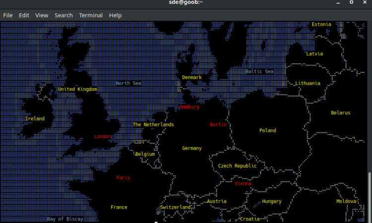
The software is written in pure JavaScript.
The software has color support, text label support, and filled polygons support.
MapSCII uses 2D spatial indexing to avoid overlapping labels and markers, and to find labels underneath a mouse cursor’s position.
Other features of the software include:
- Use your mouse to drag and zoom in and out.
- Discover Point-of-Interests around any given location.
- Highly customizable layer styling with Mapbox Styles support. A Mapbox style is a document that defines the visual appearance of a map: what data to draw, the order to draw it in, and how to style the data when drawing it.
- Connect to any public or private vector tile server.
- Or just use the supplied and optimized OSM2VectorTiles based one.
- Work offline and discover local VectorTile MBTiles.
- Compatible with most Linux and OS X terminals.
- Highly optimized algorithms for a smooth experience.
- Cross-platform support – runs under Linux, Mac OS X, and Windows. And it’ll run on anything that offers telnet capability.
Pages in this article:
Page 1 – Introduction / Installation
Page 2 – In Operation
Page 3 – Other Features
Page 4 – Summary
Please read our Comment Policy before commenting.
Amazing job