
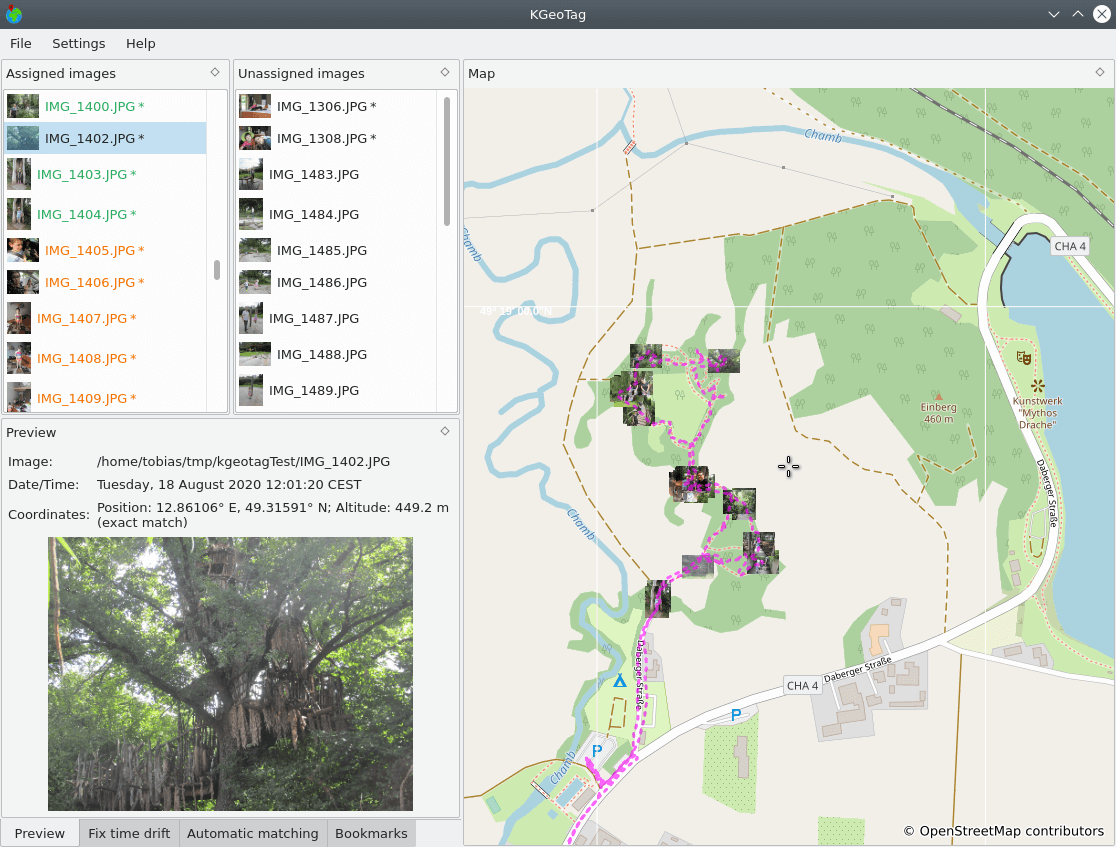
KGeoTag is a standalone geotagging program.
Images can be associated with geographic coordinates by different means: On the one hand, a matching with GPX encoded geodata can be done, on the other hand, the coordinates can be set manually, either via drag and drop onto a map, via bookmarks or by manually supplying them. The coordinates can be stored in the images’ EXIF header and/or in XMP sidecar files.
This is free and open source software.
Website: kgeotag.kde.org
Support: Code Repository
Developer: Tobias Leupold
License: GNU General Public License v3.0
KGeoTag is written in C++. Learn C++ with our recommended free books and free tutorials.
Related Software
| Photo Geotagging Tools | |
|---|---|
| GpsPrune | View, edit and convert coordinate data from GPS systems |
| KGeoTag | Photo geotagging written in C++/Qt |
| GPS Correlate | Correlates digital images with GPS data filling EXIF fields |
| Geotag | Match date/time information from photos |
| Geotagging | Photography geotagging tool |
| GottenGeography | Photo geotagging application for the GNOME desktop environment |
Read our verdict in the software roundup.
 Explore our comprehensive directory of recommended free and open source software. Our carefully curated collection spans every major software category. Explore our comprehensive directory of recommended free and open source software. Our carefully curated collection spans every major software category.This directory is part of our ongoing series of informative articles for Linux enthusiasts. It features hundreds of detailed reviews, along with open source alternatives to proprietary solutions from major corporations such as Google, Microsoft, Apple, Adobe, IBM, Cisco, Oracle, and Autodesk. You’ll also find interesting projects to try, hardware coverage, free programming books and tutorials, and much more. Discovered a useful open source Linux program that we haven’t covered yet? Let us know by completing this form. |