
Last Updated on April 15, 2022
Google has a firm grip on the desktop. Their products and services are ubiquitous. Don’t get us wrong, we’re long-standing admirers of many of Google’s products and services. They are often high quality, easy to use, and ‘free’, but there can be downsides of over-reliance on a specific company. For example, there are concerns about their privacy policies, business practices, and an almost insatiable desire to control all of our data, all of the time.
What if you are looking to move away from Google and embark on a new world of online freedom, where you are not constantly tracked, monetised and attached to Google’s ecosystem.
In this series we explore how you can migrate from Google without missing out on anything. We recommend open source solutions.
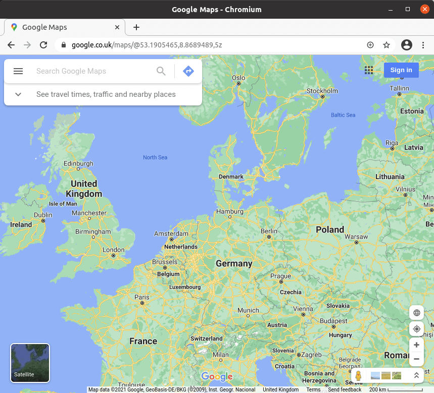 One of Google’s most popular services is Google Maps, a web mapping service which offers satellite imagery, aerial photography, street maps, and interactive panoramic views.
It’s used by more than 1 billion people every month. While it’s a very easy mapping service to use, it collects a lot of data which isn’t limited to GPS location settings from your phone.
What do we recommend as alternatives?
OpenStreetMap (OSM) is a collaborative project to create a free editable map of the world. OpenStreetMap allows you to view, edit and use geographical data in a collaborative way from anywhere on Earth. It’s kept up to date by people using GPS devices, aerial photography and other free sources of information.
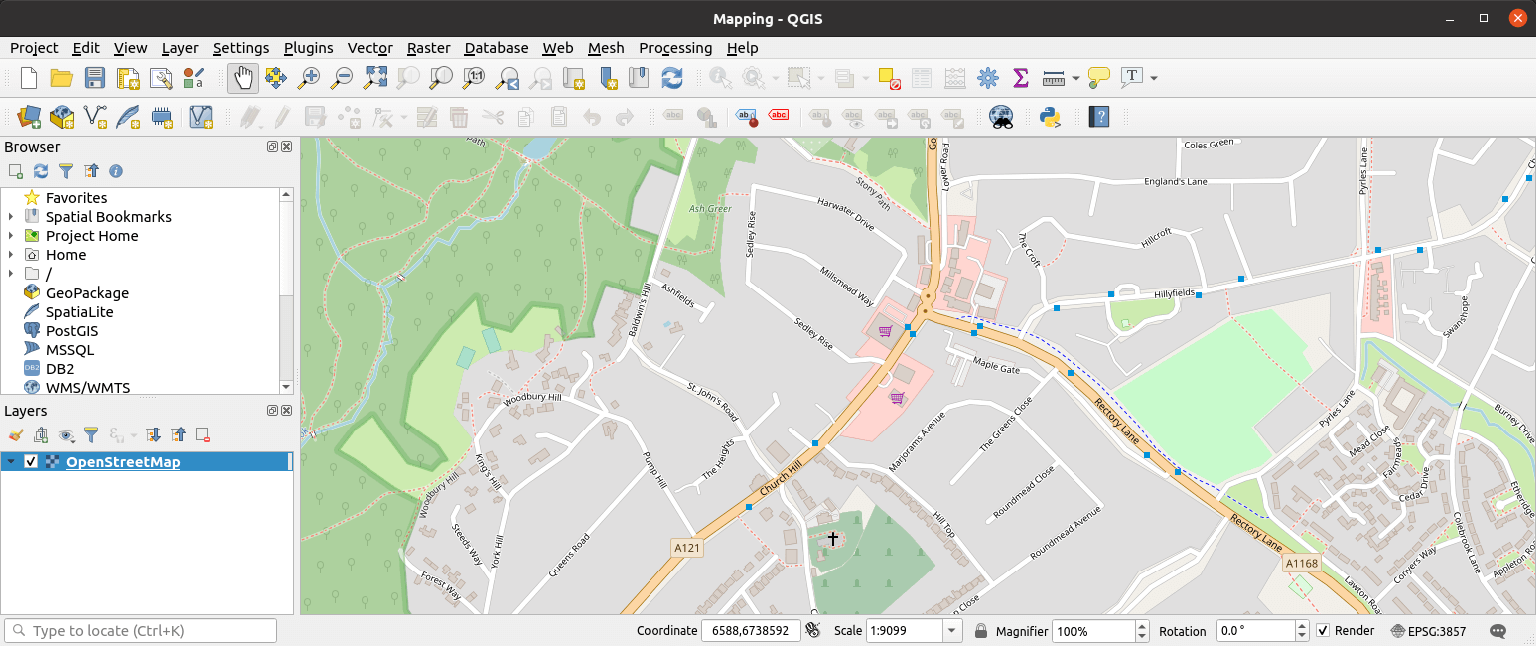
There are various open source software that taps into and other similar services. Our favorite is QGIS, an Open Source Geographic Information System (GIS). In QGIS version 3, there are built-in features to use raster and vector data from OpenStreetMap. The OSM plugin, a core QGIS plugin, provides the basic functionalities for OSM data manipulation; this includes data loading, importing, saving, downloading, editing and uploading data back to the OSM server.
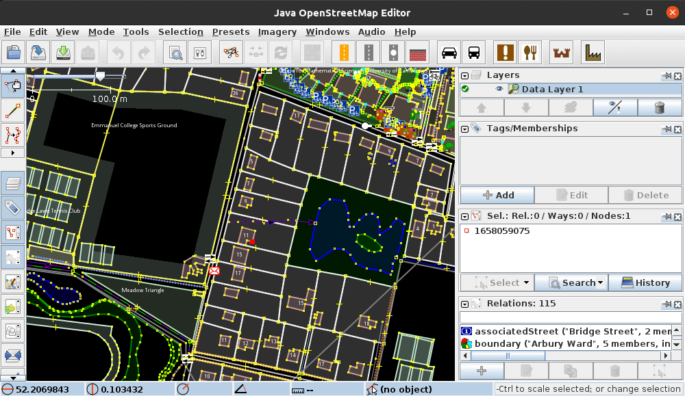
Given that OpenStreetMap is kept up-to-date by its users, we need a simple yet powerful tool to make changes. In this regard, a very useful editor for OpenStreetMap is Java OpenStreetMap Editor (JOSM).
JOSM is a Java-based tool with advanced features including support for loading GPX tracks, background imagery, and OSM data from local sources as well as from online sources and allows to edit the OSM data (nodes, ways, and relations) and their metadata tags.
All articles in this series:
| Alternatives to Google's Products and Services | |
|---|---|
| Analytics is a platform for both website and mobile app analytics. This hosted web analytics software remains the mostly widely used analytics service. | |
| Bazel is a fast, scalable, multi-language and extensible build system for building both client and server software. | |
| Blogger is an online content management system which enables its users to write blog with time-stamped entries. | |
| Calendar helps manage your busy life with a digital calendar. It offers tons of features and makes it easy to keep track of life’s important events all in one place. | |
| Charts lets users visualize data on their website. It offers a wide range of ready-to-use chart types. The most common way to use Google Charts is with JavaScript that’s embedded in a web page. | |
| Chat is communication software which provides direct messages and team chat rooms, together with a group messaging function. | |
| Chrome is application software for accessing the World Wide Web. It's the most popular web browser but has a chequered track record from a privacy perspective. | |
| Chrome Remote Desktop is a remote desktop software tool that allows a user to remotely control another computer’s desktop through a proprietary protocol. | |
| Classroom is a learning platform for educational institutions that aims to simplify creating, distributing, and grading assignments. The main aim of the platform is to streamline the process of sharing files between teachers and students. | |
| Contacts is a contact management service. It's available on the sidebar of Gmail, a web app, and for Android. | |
| DNS resolves a particular domain name to its IP equivalent. There are many free DNS providers. A few stand out from the crowd. | |
| Docs is a web-based productivity office suite. The suite includes Google Docs, Google Sheets, Google Slides, Google Drawings, Google Forms, Google Sites, and Google Keep. | |
| Drawings is diagramming software included as part of the web-based Google Docs Editors suite. Create and edit flowcharts, organizational charts, website wireframes, mind maps, concept maps, and more. | |
| Drive is a file storage and synchronization service. Want a solution that also includes the online office components available in Google Docs? | |
| Earth Pro maps Earth by superimposing satellite images, aerial photography, and GIS. Fly anywhere to see satellite imagery, 3D buildings, 3D trees, terrain, Street View, planets and much more. | |
| FeedBurner is a web feed management service. Feeds are a way for websites large and small to distribute their content well beyond just visitors using browsers. | |
| Files is a file management app for file browsing, media consumption, storage clean-up and offline file transfer. | |
| Finance is a website focusing on business news and financial information. It provides real-time market quotes, international exchanges, financial news, and analytics. | |
| Firebase is a platform for creating mobile and web applications. It's currently their flagship offering for app development providing an all-in-one cloud service. | |
| Fonts is a computer font and web font service. It offers font families and an interactive web directory for browsing the library. | |
| Forms is a survey administration software included as part of the free, web-based Google Docs Editors suite. | |
| Gboard is a virtual keyboard app developed for Android and iOS devices. It features Google Search and predictive answers. | |
| Gmail is a hugely popular email service. You might not like the automated scanning of email content. | |
| Groups is a service that provides discussion groups for people sharing common interests. Part of the service is similar to mailing lists. | |
| Jamboard is a digital interactive whiteboard developed to work with Google Workspace. Sketch your ideas whiteboard-style while benefiting from the access and connectivity of an interactive canvas, on mobile or directly from your web browser. | |
| Keep is a note-taking service. The app offers a variety of tools for taking notes, including text, lists, images, and audio. | |
| Maps is a web mapping service offering satellite imagery, aerial photography, street maps, and interactive panoramic views. | |
| Meet is a video-communication service. It offers enterprise-grade video conferencing built on Google’s global infrastructure. | |
| Messages is a text messaging software application developed for its Android and Wear OS mobile operating systems. | |
| News is a news aggregator service. It offers a continuous flow of links to articles organized from thousands of publishers and magazines. | |
| Password Manager is a password manager built into Chrome and Android devices. It's published under a proprietary license with little information about security used. | |
| Photos stores your images in the cloud for convenient access from anywhere. Lots of useful tools, but it’s difficult to shake the sinking feeling that Google is analysing your pictures. | |
| Search looks at privacy-focused alternatives to Google Search. If you believe that Google invades your privacy, what alternatives do we recommend? | |
| Sheets is a spreadsheet program included as part of the free, web-based Google Docs Editors suite. | |
| Sites is a structured wiki and web page creation tool. Build internal project hubs, team sites, public-facing websites, and more—all without designer, programmer, or IT help. | |
| Slides lets you create pitch decks, project presentations, training modules, and more. It's part of the Google Docs Editors suite. | |
| Tasks is a task management application which lets users manage, capture, and edit their tasks. It's included with Google Workspace. | |
| Translate is a multilingual neural machine translation service that translates text and websites from one language into another. | |
| YouTube is an online video sharing and social media platform. It's a hugely popular service but has encountered a number of privacy issues. | |